
THE GURUGRAM
PATHOLOGY
When market-driven urbanism collides with ecology.
A socio-ecological presentation.
The Erased
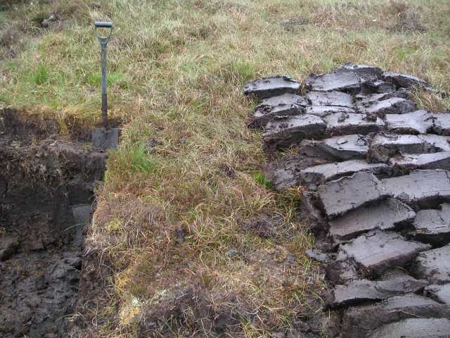
Sponges
Natural water bodies, lakes, and seasonal streams systematically destroyed or concretized during Gurugram's rapid corporate expansion.
Without them, there is zero retention, guaranteeing massive surface runoff.


The Natural
Topography
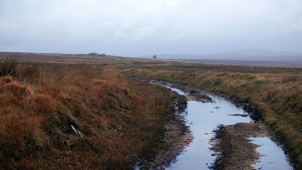
The Aravalli Runoff Channels
Historically, rainwater cascaded naturally from the Aravalli hills through an intricate network of streams and bunds.
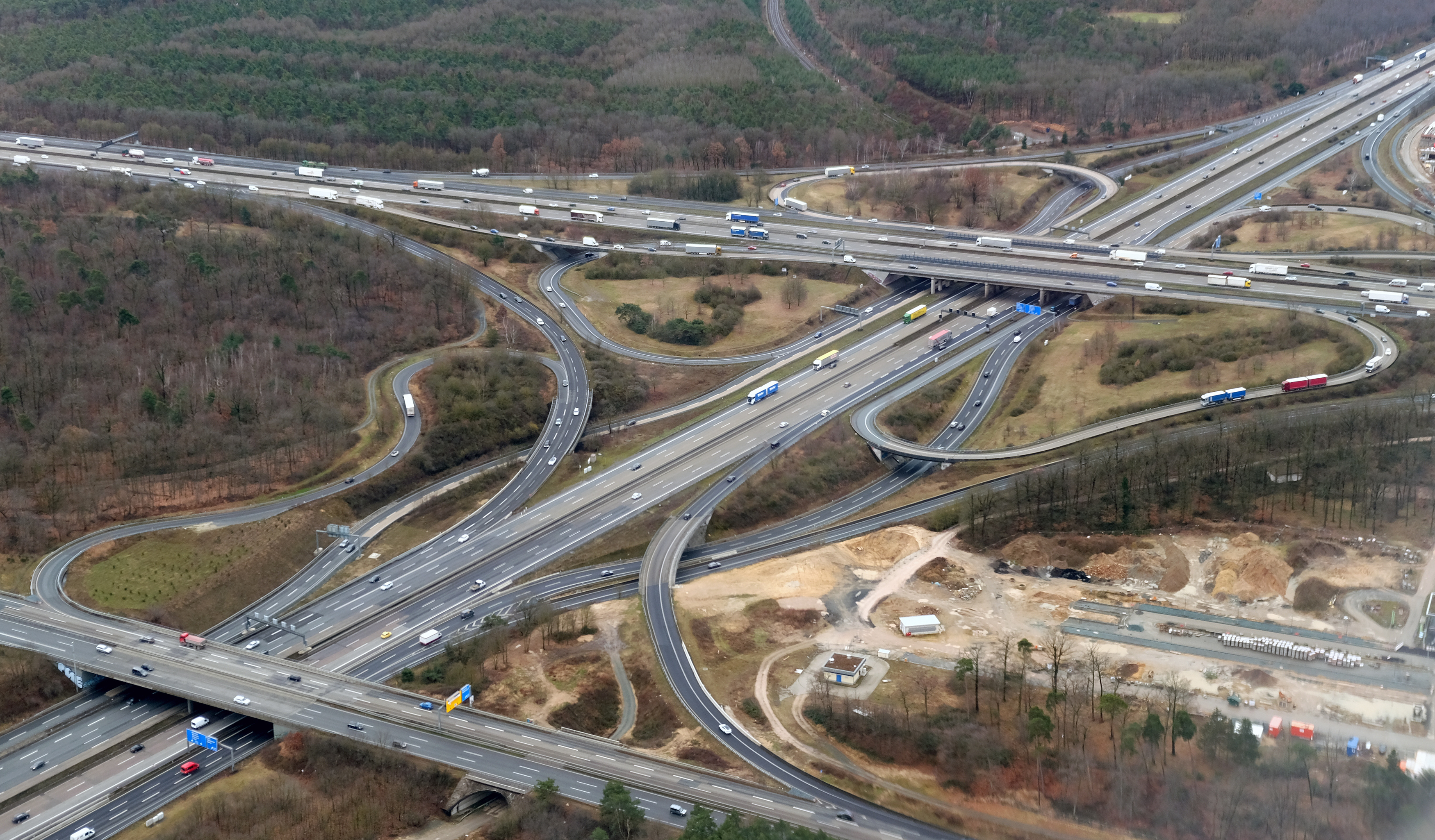
Today, this ancient hydrologic map has been entirely severed. Concrete highways and unregulated real estate have been built directly across these runoff channels, acting as massive dams.
The Starved
Basin
The Najafgarh Jheel was the historic destination for all of Gurugram's water. A massive, natural wetland designed to absorb excess capacity.
In 1964, a catastrophic embankment altered its inundation cycle. Since then, the basin has been choked and heavily silted, rejecting the water Gurugram attempts to drain into it.
Inside
the Bowl
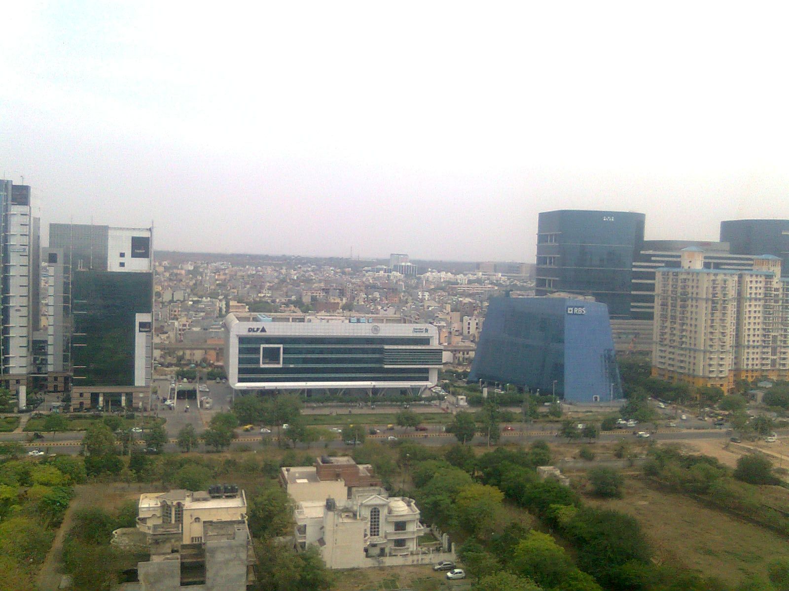
Market-driven urbanism prioritized premium real estate over geomorphology.
Areas like Sector 108 and vast corporate corridors were built entirely inside the historic wetland boundary of the Najafgarh Jheel. We did not just build near the flood zone; we paved the drain.
Concretized
Arteries
Primary drains like Badshahpur and Ghata have been stripped of their permeable riverine qualities. Choked with municipal solid waste and constrained by concrete walls, these arteries transition from streams into overwhelmed, pressurized pipes that backflow onto the streets during heavy monsoons.
The "Illegible"
City
Gurugram is governed by an alphabet soup of apathy: MCG, GMDA, HSIIDC, NHAI.
These overlapping jurisdictions create a complete diffusion of responsibility. There is zero accountability for total watershed design or hydrologic health.
Neta-Builder
Nexus
The flooding isn't merely an engineering oversight. It is the direct result of a political ecology that prioritized the hyper-monetization of land.
Private development expanded the city's corporate footprint while intentionally bypassing the unglamorous, expensive mandate of building subterranean civic infrastructure.

Privatized
Citizenship
In the absence of reliable public infrastructure, the affluent retreat into walled resilience—private water tankers, private power generators, and elevated high-rises. This "privatized citizenship" hollows out the collective, cross-class political pressure required to force systemic, city-wide municipal fixes.
Sponge Cities
Wuhan, China Proof of Concept
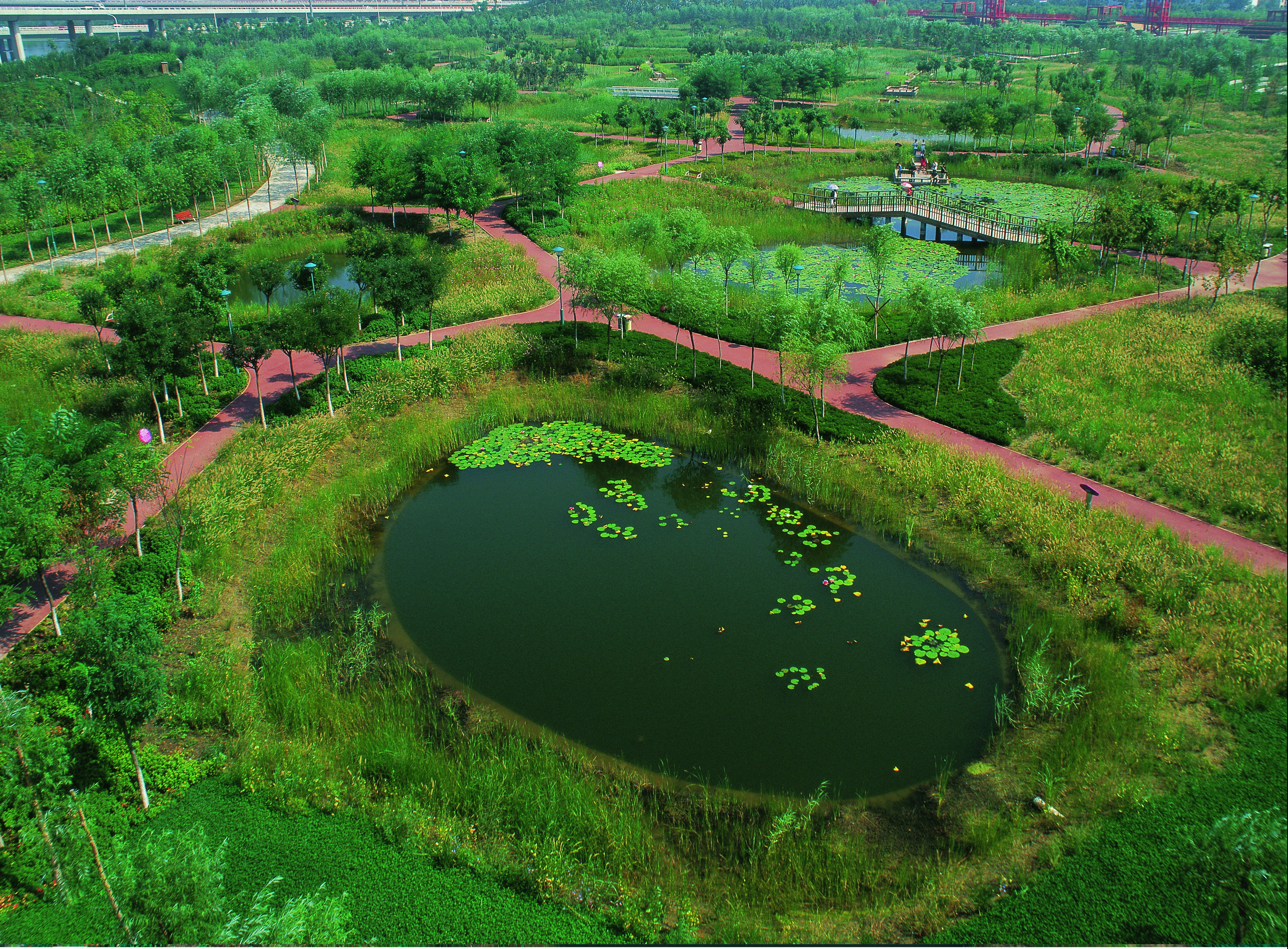
Faced with catastrophic flooding, Wuhan pivoted away from grey infrastructure (concrete pipes) towards blue-green infrastructure.
They implemented 389 pilot projects to engineer the city to absorb, retain, and slowly release 60-85% of annual rainfall through artificial wetlands.
Economics of
Resilience
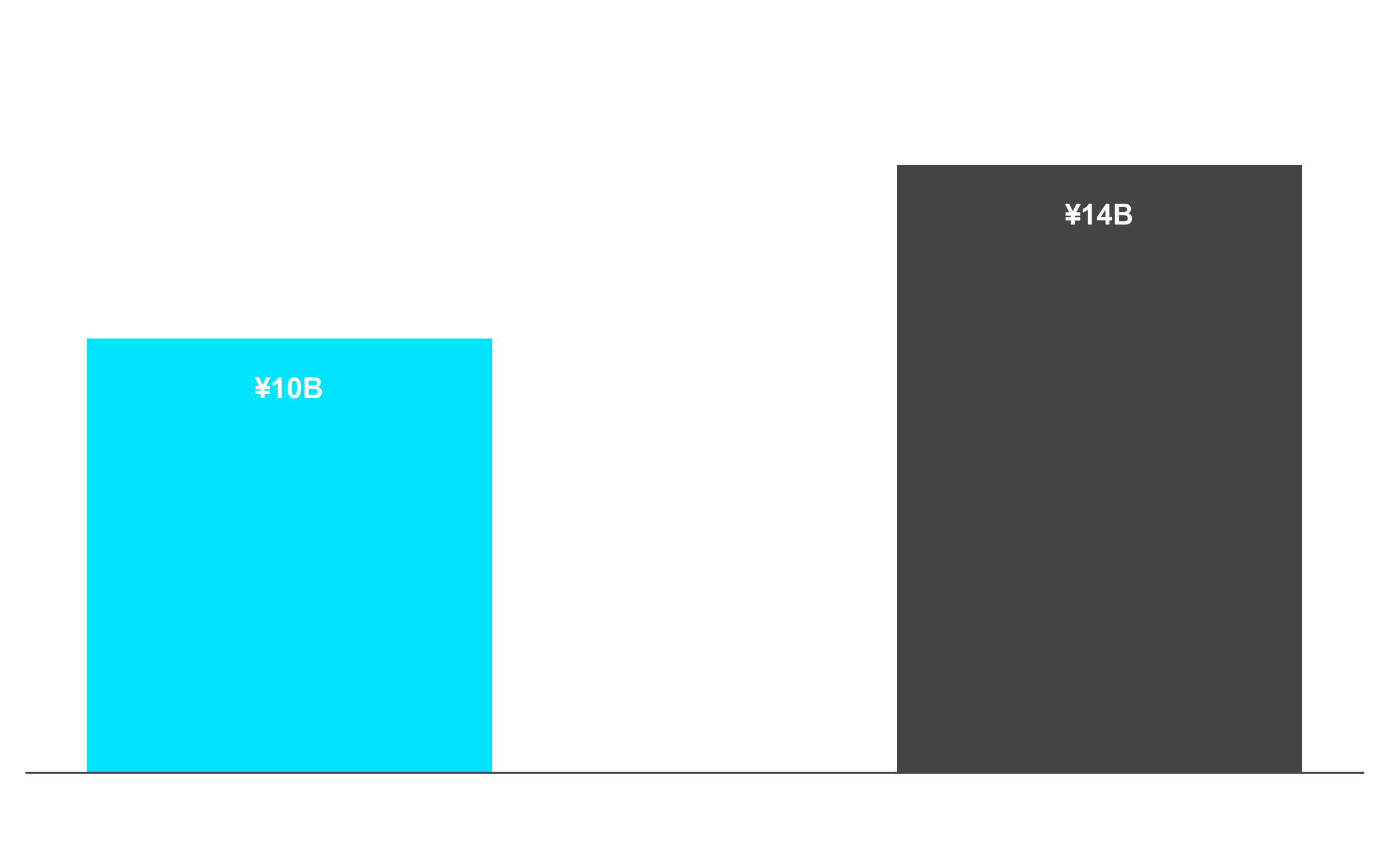
Transforming into a Sponge City is not just an ecological mandate; it is a financial one.
Wuhan's massive blue-green infrastructure rollout proved to be highly cost-effective compared to traditional engineering, saving billions in capital expenditure.

Room for
the River
The Netherlands Philosophy
After disastrous flood threats, the Dutch realized a fundamental flaw: You cannot fight water with higher walls forever.
They executed massive interventions to systematically give space back to rivers, lowering floodplains and reclaiming land to expand hydrologic capacity.
Expanding
Capacity
Through 39 targeted spatial interventions, the Netherlands dramatically increased the discharge volume capacity of rivers like the Rhine.
This approach actively utilizes natural dynamics for flood risk management, transforming inevitable flood zones into highly desirable urban parks.